Generated with Monsha
Save this resource to edit, expand, or export it, or create more resources for free.
New York Geography Practice: Water Borders
Anything
Grade 4
English
New York Geography Practice: Water Borders
Part 1: Exploring the Map
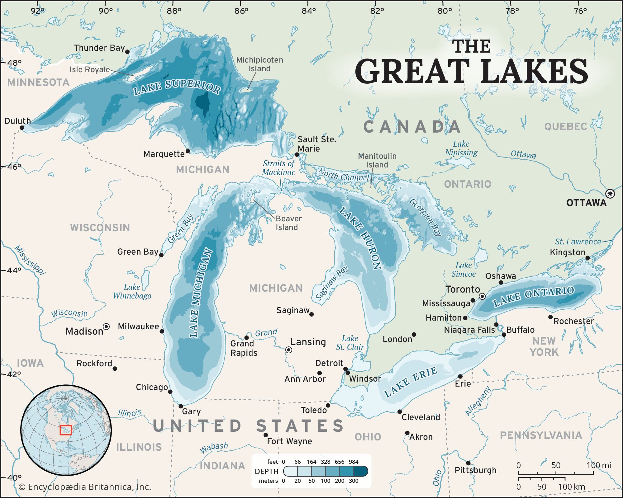
Use the map below and your knowledge of directions (North, South, East, West) to answer the questions.
Quick Tip: Using the Compass Rose
Remember the "Never Eat Soggy Waffles" trick for the compass rose:
- North (Up)
- East (Right)
- South (Down)
- West (Left)
Activity 1: Map Skills
- Look at the map. Which large body of water is located to the southeast of New York? A) Lake Ontario B) Gulf of Mexico C) Atlantic Ocean D) Pacific Ocean
Answer: ________________
- Which Great Lake sits on the northwestern border of New York State? A) Lake Ontario B) Atlantic Ocean C) Chesapeake Bay D) Lake Michigan
Answer: ________________
- Which famous river forms a border between New York and New Jersey to the southwest of New York City? A) Hudson River B) Nile River C) Amazon River D) Colorado River
Answer: ________________
Part 2: Extra Practice (Back Side)
Activity 2: Direction Detective
Imagine you are standing in the middle of New York State. Draw an arrow on the lines below pointing to where these water bodies are located:
- Atlantic Ocean: ________________ (Direction)
- Lake Erie: ________________ (Direction)
- Lake Ontario: ________________ (Direction)
Activity 3: Creative Cartography
In the box below, draw a simple outline of New York State. Label the Atlantic Ocean in the correct spot and add a Compass Rose in the corner to show your directions.
[Draw your map and label the Atlantic Ocean here!]
Reflection Question: Why do you think the Atlantic Ocean is important for a city like New York City?
________________________________________________________________________________
________________________________________________________________________________