Generated with Monsha
Save this resource to edit, expand, or export it, or create more resources for free.
Geography and Native American Settlements in New York
Anything
Grade 4
English
Geography and Native American Settlements in New York
Geography and Native American Settlements in New York
How did New York’s physical features shape where people lived?
📖 Reading: Geography and the First Peoples
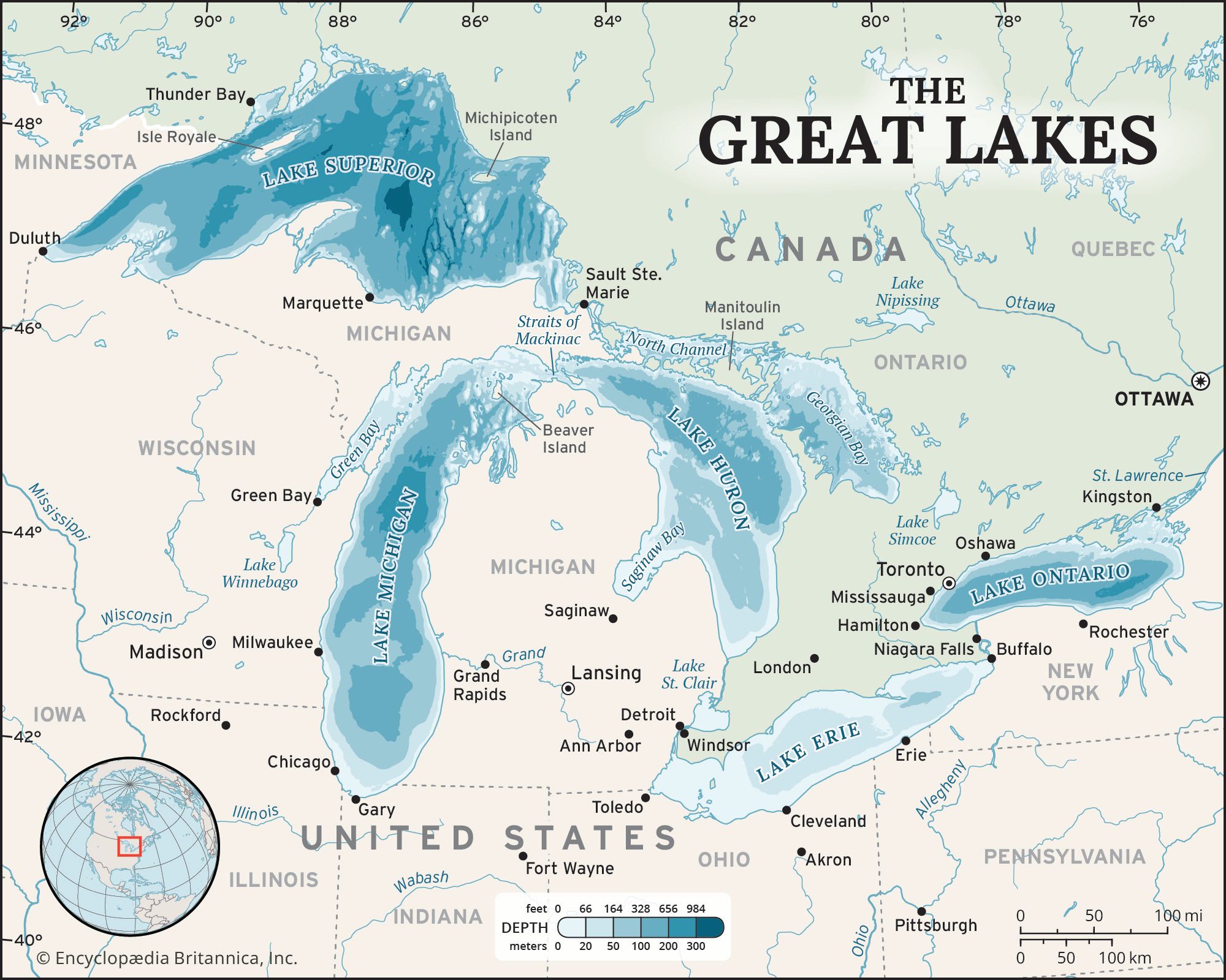
Long before New York became a state, groups of Native Americans like the Haudenosaunee (Iroquois) and the Algonquian lived across the land. They didn't just pick any spot to build their homes; they carefully chose locations based on the geographic features around them.
1. Water is Life
Settlements were almost always located near water. Rivers like the Hudson and Mohawk, and lakes like the Finger Lakes, provided three important things: fresh water to drink, fish to eat, and a way to travel. Using birch bark or elm bark canoes, Native Americans could move quickly across long distances to trade or visit other villages.
2. Fertile Soil for Farming
The Haudenosaunee settled in flat, fertile valleys. They grew the "Three Sisters"—corn, beans, and squash. The rich soil in the Mohawk Valley and near the Finger Lakes made it easy to grow enough food for large villages.
3. Forests and Mountains
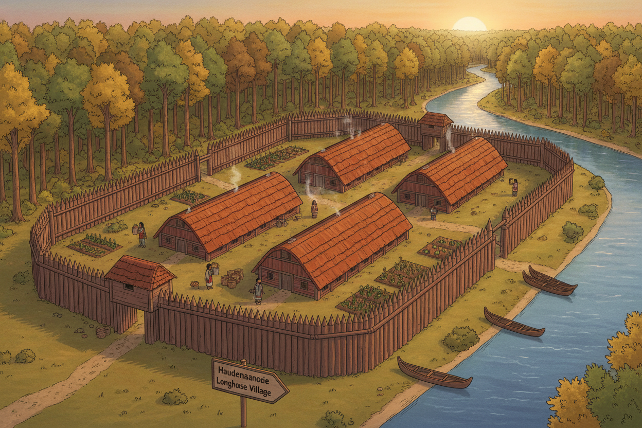
Forests provided the wood needed to build longhouses (for the Haudenosaunee) and wigwams (for the Algonquian). They also offered protection and were filled with animals like deer and turkey for hunting. While the high peaks of the Adirondack Mountains were too steep for large year-round villages, they were perfect for seasonal hunting trips.
4. Coastal Living
The Algonquian groups on Long Island and near the Atlantic coast used the ocean to their advantage. They gathered clams and oysters and used the shells to make wampum, which was used for storytelling and sometimes as a form of currency.
📝 Activity 1: The Geography Explorer
Based on the reading, match the geographic feature to the benefit it provided to Native American settlements.
- Rivers and Lakes A. Provided shells for wampum and seafood.
- Fertile Valleys B. Provided wood for building longhouses.
- Forests C. Allowed for travel by canoe and provided fish.
- Atlantic Ocean D. Provided rich soil for the "Three Sisters."
📝 Activity 2: Settlement Impact Concept Map
Use the concept map below to show how geography influenced settlements. In the sub-concept boxes, write one way each feature helped the tribes (e.g., "Food Source" or "Transportation").
Name:
Date:
GEOGRAPHY AND SETTLEMENTSGrade 4: Concept Map & Relationships
Instructions:In the MAIN TOPIC box, write 'NY Geography'. In the three boxes below, identify three different geographic features (like Rivers, Forests, or Valleys) and describe how they helped Native Americans decide where to live.
MAIN TOPIC
INFLUENCED SETTLEMENTS BY
FEATURE 1
FEATURE 2
FEATURE 3
Summary of Connections:
📝 Activity 3: Quick Check
Choose the best answer for each question.
- Which geographic feature was most important for transportation between distant villages? A. High mountain peaks B. Deep forests C. Rivers and lakes D. Flat plains
- Why did the Haudenosaunee settle in fertile river valleys? A. To stay away from the water B. To grow crops like corn, beans, and squash C. To avoid hunting in the forests D. To build stone castles
- What resource from the forest was essential for building longhouses? A. Sand and clay B. Iron and coal C. Seaweed D. Trees and bark
- Algonquian groups on Long Island utilized the Atlantic Ocean primarily for: A. Ice skating B. Mining for gold C. Gathering seafood and shells for wampum D. Building large brick cities
💻 Presentation Recap: Key Takeaways
🌟 THE BIG IDEA
Where they lived:
- Near Rivers (Travel/Food)
- In Valleys (Farming)
- Near Forests (Shelter)
- By the Coast (Fishing)
Why it mattered:
Geography determined what they ate, how they moved, and what their homes were made of. Nature provided everything they needed to survive!
✍️ Short Response
Imagine you are a leader of a group of Native Americans looking for a new place to settle in New York. Describe two geographic features you would look for and explain why they are important for your village's survival.